Advantages: ①Triple Frequency, Offers higher accuracy and Stability,Stronger Resistance,Faster Convergence time: ②NOAA certification: SMA20RTK is antenna name of NOAA registered; ③PPK rover logging or Base Logging capability, PPK calculation on collector; ④PPP method: PPP method by Galileo HAS correction; ⑤Rinex logging enabled which can export rinex files directly to PC
Capability: RTK GPS Land surveying equipment Rover+Collector(Software permanent valid). Free switching between rover and base station. ①1-2cm RTK accuracy and Dual Frequency and Full-Constellation; ②max. angle 60°tilt, 30°2.5cm accuracy (horizontal); ③10hours for base,15hours for rover under continuous work of each battery charge; ④10cm accuracy by PPP method, no need base station; ⑤2.5cm accuracy by Ntrip network station
Application: The SMA26 RTK GNSS receiver provides the accuracy needed for a wide range of surveying and engineering applications, including topographic surveying, geographic surveying, engineering surveying, agriculture field measurement, mine surveying, construction surveying
Surveying Software: The surveying software is pre-installed on the handheld collector and is permanently valid. Users can always access a download link to update the software to the latest version
Tech Support: For sure buyer can contact seller tech team for support by email to make sure the equipment 100% works well. Please refer to the PDF e-manual and operation videos as well


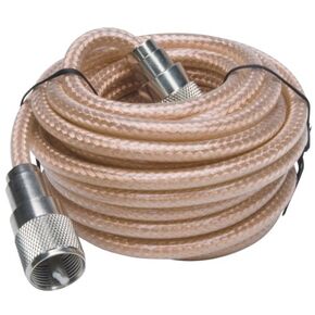 RoadPro RP-8X12CL Clear 12' CB Antenna with Mini-8 Coax Cable
KWD 6
RoadPro RP-8X12CL Clear 12' CB Antenna with Mini-8 Coax Cable
KWD 6
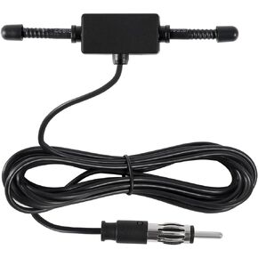 AEDIKO Car Stereo AM FM Dipole Antenna Hidden Adhesive Mount AM FM Radio Antenna DIN Plug Connector for Vehicle Car Truck SUV Radio Stereo Head Unit Receiver Tune
KWD 2.500
AEDIKO Car Stereo AM FM Dipole Antenna Hidden Adhesive Mount AM FM Radio Antenna DIN Plug Connector for Vehicle Car Truck SUV Radio Stereo Head Unit Receiver Tune
KWD 2.500
 TV Antenna, 2023 Newest HDTV Indoor Digital TV Antenna 300 Miles Range with Amplifier Signal Booster 4K HD Free Local Channels Support All Television - 10ft High Performance Coax Cable
KWD 8.500
TV Antenna, 2023 Newest HDTV Indoor Digital TV Antenna 300 Miles Range with Amplifier Signal Booster 4K HD Free Local Channels Support All Television - 10ft High Performance Coax Cable
KWD 8.500
 SMAJAYU R26 V2 GNSS IMU RTK GPS Surveying Equipment Rover Base Handheld,IMU Built-in, 1408 Channels, 1cm Accuracy, 5km Distance
KWD 979
SMAJAYU R26 V2 GNSS IMU RTK GPS Surveying Equipment Rover Base Handheld,IMU Built-in, 1408 Channels, 1cm Accuracy, 5km Distance
KWD 979


