- Shopping, made easy.
- /
- Get the app!
This three-map pack bundles topographic hiking maps for the wilderness areas closest to the Denver / Boulder metro area: 1- Indian Peaks / James Peak Wilderness Map - 1:48,000, 2- Mount Evans Wilderness Map - 1:40,000, 3- Lost Creek Wilderness - 1:48,000. These three tough and trail-ready topographic hiking maps will inspire Denver and Boulder area residents and visitors alike to explore the hundreds of miles of wilderness hiking trails in their backyard. From day hikes to backpacking circuits to climbing the many obscure peaks of the Front Range, these maps are suited to all levels of wilderness exploration.
 Sangre de Cristo Wilderness NORTH - Colorado Topographic Hiking Map (2022)
KWD 4
Sangre de Cristo Wilderness NORTH - Colorado Topographic Hiking Map (2022)
KWD 4
 Rawah Wilderness - Colorado Topographic Hiking Map (2018)
KWD 4.500
Rawah Wilderness - Colorado Topographic Hiking Map (2018)
KWD 4.500
 Outdoor Trail Maps LLC Eagles Nest Wilderness - Colorado Topographic Hiking Map (2018)
KWD 4
Outdoor Trail Maps LLC Eagles Nest Wilderness - Colorado Topographic Hiking Map (2018)
KWD 4
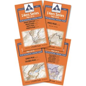 Outdoor Trail Maps Colorado 14ers Series Front-Tenmile-Mosquito Range Map Pack
KWD 9
Outdoor Trail Maps Colorado 14ers Series Front-Tenmile-Mosquito Range Map Pack
KWD 9


