- Shopping, made easy.
- /
- Get the app!
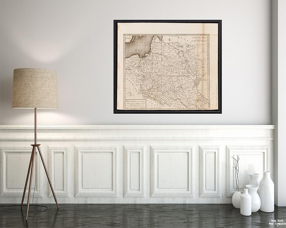
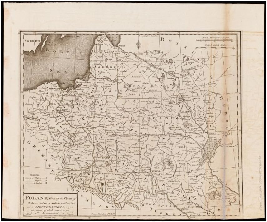
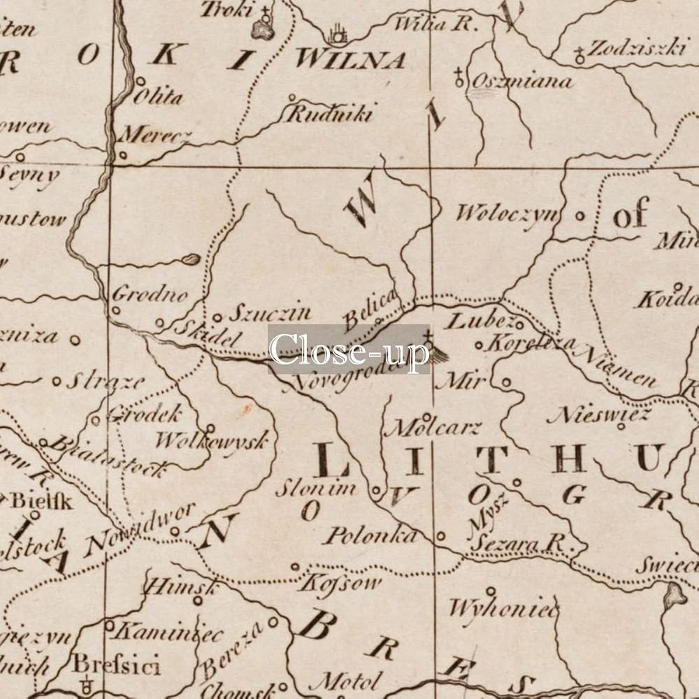
1800 Map Ukraine| Belarus| Lithuania| Poland Poland, shewing the claims of Russia, Prussia & Austria, until the late depredations, the extent of which cannot as yet be ascertained Covers Poland, Lithuania, Belarus, Ukraine and parts of surrounding areas. Relief shown pictorially. Prime meridians: Philadelphia and London. In upper left margin: 18. map 18 in his Carey's general atlas. Philadelphia : Mathew Carey, 1800.
 PETCEE 30PCS Shapes Poster for Classroom Bulletin Board Set Shapes Learning Cutouts for Toddler Kids Early Education Shape Posters for Family Nursery Preschool Pre-K Classroom Wall Decoration
KWD 4
PETCEE 30PCS Shapes Poster for Classroom Bulletin Board Set Shapes Learning Cutouts for Toddler Kids Early Education Shape Posters for Family Nursery Preschool Pre-K Classroom Wall Decoration
KWD 4
 Disney Princess Autograph Book with Pen
KWD 5
Disney Princess Autograph Book with Pen
KWD 5
 Globe Turner Florida State Wall Map - 22" x 30" Rolled Canvas
KWD 15
Globe Turner Florida State Wall Map - 22" x 30" Rolled Canvas
KWD 15
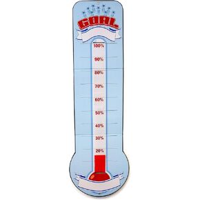 BigMouth Inc. Goal Chart, Goal Setting Thermometer for Classroom & Office Decor, 48" x 11"
KWD 7.500
BigMouth Inc. Goal Chart, Goal Setting Thermometer for Classroom & Office Decor, 48" x 11"
KWD 7.500