- Shopping, made easy.
- /
- Get the app!
Our Charlotte Metro Area map shows areas within 40 miles of downtown Charlotte, including towns, cities, and counties within North and South Carolina that fall within this territory. Interstate, major highways and secondary roads are shown, as well as major points of interest.
 Merriam-Webster Webster’s Spanish-English Dictionary for Students, Second Edition (English and Spanish Edition)
KWD 5.500
Merriam-Webster Webster’s Spanish-English Dictionary for Students, Second Edition (English and Spanish Edition)
KWD 5.500
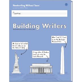 Learning Without Tears Building Writers, Student Edition- Grade 4, Writing Skills in Narrative, Information, Opinion Style, Writing Fluency- for School and Home Use
KWD 5.500
Learning Without Tears Building Writers, Student Edition- Grade 4, Writing Skills in Narrative, Information, Opinion Style, Writing Fluency- for School and Home Use
KWD 5.500
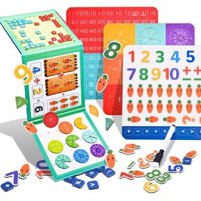 Magnetic Fraction Tiles & Fraction Circles,Fractions manipulatives Educational,Learning Games for Elementary School,Math Manipulatives for Elementary School Early Math Skills. (3 in 1)
KWD 4
Magnetic Fraction Tiles & Fraction Circles,Fractions manipulatives Educational,Learning Games for Elementary School,Math Manipulatives for Elementary School Early Math Skills. (3 in 1)
KWD 4
 -25%
48 Pieces Fruit Cutouts Chunky Pencils Cutouts School Bus Accents Colorful Bulletin Board Cutouts for Classroom Decor School Playroom Baby Nursery Kids Bedroom Studio
KWD 3
-25%
48 Pieces Fruit Cutouts Chunky Pencils Cutouts School Bus Accents Colorful Bulletin Board Cutouts for Classroom Decor School Playroom Baby Nursery Kids Bedroom Studio
KWD 3


