- Shopping, made easy.
- /
- Get the app!

Laminated wall map of the Greater Portland Metro area showing locations within 20 miles of downtown Portland, including parts of Multnomah, Washington, Columbia, Clark, Clackamas, and Yamhill Counties. Communities included are Portland, Vancouver, Gresham, Beaverton, Aloha, Tigard, Hillsboro, Lake Oswego, Oregon City, Newberg, Canby, Saint Helens, and Forest Grove, among many others. Features shown include cities, towns, major roads and highways, zip codes, and major points of interest. An index of community names is included. The laminated map is rolled and shipped in a tube.
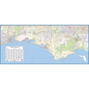 Florida Panhandle Laminated Wall Map (48 inch Wide by 22 inch high)
KWD 62.500
Florida Panhandle Laminated Wall Map (48 inch Wide by 22 inch high)
KWD 62.500
 2 Pcs Locker Magnetic Wallpaper Floral Seamless Horizontal Border Abstract Yellow Flowers 12" x 36" Wall Magnetic Sticker Removable Locker Accessories Decor Easy Install for Office School
KWD 12.500
2 Pcs Locker Magnetic Wallpaper Floral Seamless Horizontal Border Abstract Yellow Flowers 12" x 36" Wall Magnetic Sticker Removable Locker Accessories Decor Easy Install for Office School
KWD 12.500
 Pythagorean Theorem Geometry Experiment Set Early Educational Toys Equipment
KWD 7.500
Pythagorean Theorem Geometry Experiment Set Early Educational Toys Equipment
KWD 7.500
 Muir Way Hydrological River Map of Louisiana - Watershed Topographic Wall Art for Home, Office, or Travel Decor - Unframed Flat Paper Print, 18x24
KWD 32.500
Muir Way Hydrological River Map of Louisiana - Watershed Topographic Wall Art for Home, Office, or Travel Decor - Unframed Flat Paper Print, 18x24
KWD 32.500