- Shopping, made easy.
- /
- Get the app!
Laminated Map Africa With Cities and Tribes 1644 Antique Vintage Style Travel World Map Posters for Wall Map Art Geographical Illustration Travel Destinations Poster Dry Erase Wall Art 16x24
 Technology Classroom Decor Computer Science Poster For Lab Decorations Wall Art Cool Wall Art Print Poster 18x12
KWD 5.500
Technology Classroom Decor Computer Science Poster For Lab Decorations Wall Art Cool Wall Art Print Poster 18x12
KWD 5.500
 Barack Obama Poster Hope American President Motivational Inspirational Quote Classy Cool Aesthetic Modern Wall Graphic Picture Photograph Office Cool Wall Art Print Poster 16x24
KWD 5.500
Barack Obama Poster Hope American President Motivational Inspirational Quote Classy Cool Aesthetic Modern Wall Graphic Picture Photograph Office Cool Wall Art Print Poster 16x24
KWD 5.500
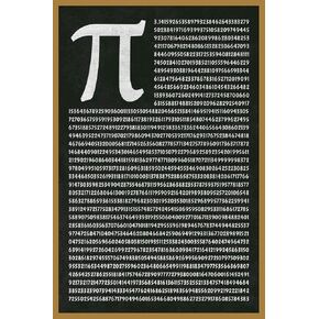 Math Poster For High School Mathematical Number PI to 1801 Decimals Greek Letter Math Classroom Science Educational Teacher Learning Homeschool Cool Wall Art Print Poster 16x24
KWD 7
Math Poster For High School Mathematical Number PI to 1801 Decimals Greek Letter Math Classroom Science Educational Teacher Learning Homeschool Cool Wall Art Print Poster 16x24
KWD 7
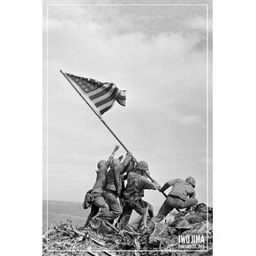 Laminated Iwo Jima Poster Flag Raising US Marines 1945 WW2 Posters USMC World War 2 Memorabilia History Classroom Decorations WWII Military US History Americana Poster Dry Erase Wall Art 24x36
KWD 12.500
Laminated Iwo Jima Poster Flag Raising US Marines 1945 WW2 Posters USMC World War 2 Memorabilia History Classroom Decorations WWII Military US History Americana Poster Dry Erase Wall Art 24x36
KWD 12.500


