- Shopping, made easy.
- /
- Get the app!
This NEW GULF, CARIBBEAN and ATLANTIC REGIONS wall map features all new digital cartography with many Caribbean island insets. It displays equally well in a home, office or even a school setting. This is a similar map that most get on-board cruise ships. Plan your vacation trip to the Caribbean islands or use it to locate places that you visited. If you like to frame it, this size fits stock frames. INSETS Aruba, Anguilla (with St. Martin), Antigua, Barbados, Bermuda, Bonaire, Curacao, Dominica, Grand Bahama, Grand Cayman, Grenada, Guadeloupe, Hispaniola (Haiti, Dominican Republic), Jamaica, Puerto Rico, Martinique, New Providence, St. Croix, St. Kitts and Nevis, St. Lucia, St. Martin (with Anguilla), St. Vincent, Trinidad, Tobago, Virgin Islands (St. Thomas, St. John).
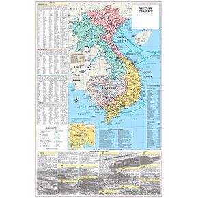 Cool Owl Maps Vietnam War Conflict Wall Map Poster Military - 24"x36" Laminated
KWD 10.500
Cool Owl Maps Vietnam War Conflict Wall Map Poster Military - 24"x36" Laminated
KWD 10.500
 Seventeen Quiz Book Merch - Japanese Edition
KWD 14.500
Seventeen Quiz Book Merch - Japanese Edition
KWD 14.500
 Cool Owl Maps Colorado State Wall Map Poster Rolled 32"x24" (laminated)
KWD 10.500
Cool Owl Maps Colorado State Wall Map Poster Rolled 32"x24" (laminated)
KWD 10.500
 Cool Owl Maps New York State Wall Map Poster Rolled 24"Wx30"H (Laminated)
KWD 10.500
Cool Owl Maps New York State Wall Map Poster Rolled 24"Wx30"H (Laminated)
KWD 10.500


