- Shopping, made easy.
- /
- Get the app!
Rand McNally's folded map for North Dakota and South Dakota is a must-have for anyone traveling in or through the states, offering unbeatable accuracy and reliability at a great price. Our trusted cartography shows all Interstate, U.S., state, and county highways and much more. - Points of interest. - State Park chart. - State mileage chart. - Driving times map. - On-the-road toolbox. - Visitor center information. - Climate data. - State facts & symbols. - Easy-to-use legend. - Detailed indexed. Coverage Area Detailed maps include: Bismark, ND; Black Hills Region, Fargo, ND; Grand Forks, ND; Pierre, SD; Rapid City, SD; Sioux Falls, SD. Product Details: Measures 9.0" x 4.125" and folds out to 25.5" x 36.75".


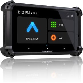 Rand McNally RANDTAB8 Rand Tablet with Rand Navigation GPS with Speed Camera Alerts and Live Traffic, Weather and Fuel - 8 Inch
KWD 124
Rand McNally RANDTAB8 Rand Tablet with Rand Navigation GPS with Speed Camera Alerts and Live Traffic, Weather and Fuel - 8 Inch
KWD 124
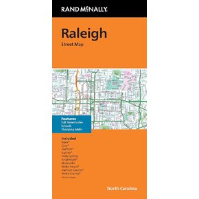 Rand McNally Folded Map: Raleigh Durham Street Map
KWD 4.500
Rand McNally Folded Map: Raleigh Durham Street Map
KWD 4.500
 -11%
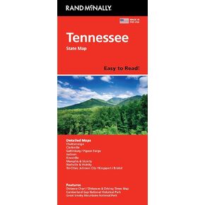
Rand McNally Easy to Read: Tennessee State Map
KWD 4
-11%
Rand McNally Easy to Read: Tennessee State Map
KWD 4
 Rand McNally Easy to Read: Virginia State Map
KWD 4.500
Rand McNally Easy to Read: Virginia State Map
KWD 4.500


