- Shopping, made easy.
- /
- Get the app!

Unique, full color, and detailed this political map of "Spain and Portugal" features geographic detail and accuracy. The map shows all Spain and Portugal state boundaries, place names, a selection National Parks, Airports, bodies of water, and more. Inset maps show the Azore, Canary and Madeira Islands. Perfect for Schools, Home, Office or Home Schooling.
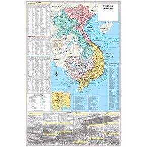 Cool Owl Maps Vietnam War Conflict Wall Map Poster Military - 24"x36" Laminated
KWD 10.500
Cool Owl Maps Vietnam War Conflict Wall Map Poster Military - 24"x36" Laminated
KWD 10.500
 Cool Owl Maps Colorado State Wall Map Poster Rolled 32"x24" (laminated)
KWD 10.500
Cool Owl Maps Colorado State Wall Map Poster Rolled 32"x24" (laminated)
KWD 10.500
 Cool Owl Maps New York State Wall Map Poster Rolled 24"Wx30"H (Laminated)
KWD 10.500
Cool Owl Maps New York State Wall Map Poster Rolled 24"Wx30"H (Laminated)
KWD 10.500
 Cool Owl Maps Pennsylvania State Wall Map Poster Rolled 34"Wx24"H (laminated)
KWD 10.500
Cool Owl Maps Pennsylvania State Wall Map Poster Rolled 34"Wx24"H (laminated)
KWD 10.500