- Shopping, made easy.
- /
- Get the app!
Introducing The Hiker's Map of Colorado, a 27”x39” wall poster map print, showing the entire state of Colorado featuring hiking trails, public lands, the Colorado Trail and Continental Divide Trail, rivers, lakes and much more. Whether you're doing your first 14er hike or and finishing off the list of bicentennial peaks, this map is perfect for planning from home, as it shows all 14ers, centennial peaks and bicentennial peaks (the top 200 peaks in Colorado), as well as roads to most trailheads. Painstakingly researched and developed over countless hours, this Colorado map is the ultimate planning tool for outdoor enthusiasts of all types and experience levels. With shaded relief and color-based topography, this map is not only functional but beautiful.
 Sangre de Cristo Wilderness NORTH - Colorado Topographic Hiking Map (2022)
KWD 4
Sangre de Cristo Wilderness NORTH - Colorado Topographic Hiking Map (2022)
KWD 4
 Rawah Wilderness - Colorado Topographic Hiking Map (2018)
KWD 4.500
Rawah Wilderness - Colorado Topographic Hiking Map (2018)
KWD 4.500
 Lizard Head - Mount Sneffels Wilderness - Colorado Topographic Hiking Map (2018)
KWD 4
Lizard Head - Mount Sneffels Wilderness - Colorado Topographic Hiking Map (2018)
KWD 4
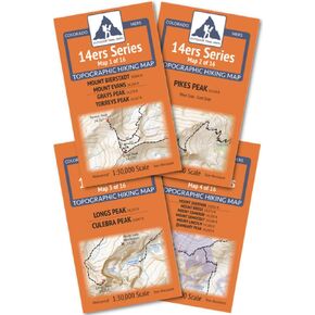 Outdoor Trail Maps Colorado 14ers Series Front-Tenmile-Mosquito Range Map Pack
KWD 9
Outdoor Trail Maps Colorado 14ers Series Front-Tenmile-Mosquito Range Map Pack
KWD 9


