- Shopping, made easy.
- /
- Get the app!

Unique, color banded, this political LARGE PRINT map of NEW YORK state features geographic details. The map shows all county boundaries, county names with their capitals. Inset of New York City area. Perfect for Schools, Home, Office or Home Schooling.
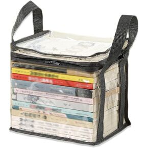 Clear Book Storage Bag Plastic Comic Books Organizer 38x24x32cm/15x9x3inches Collapsible Book Display Case with Lid and Lifting Handle for Books Used Books Toys
KWD 4.500
Clear Book Storage Bag Plastic Comic Books Organizer 38x24x32cm/15x9x3inches Collapsible Book Display Case with Lid and Lifting Handle for Books Used Books Toys
KWD 4.500
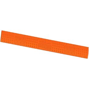 Desk Buddy CHEWABLE Sensory Ruler for School OR Home
KWD 6
Desk Buddy CHEWABLE Sensory Ruler for School OR Home
KWD 6
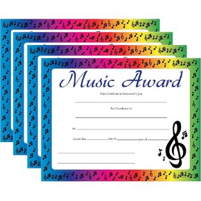 SHAPES ETC. 30 pcs Music Award Recognition Certificates 11in x 8.5in Academic Recognition Music Teachers School Certificate Musicians Musical Achievement Kids Awards Band Achievements Made in The USA
KWD 7
SHAPES ETC. 30 pcs Music Award Recognition Certificates 11in x 8.5in Academic Recognition Music Teachers School Certificate Musicians Musical Achievement Kids Awards Band Achievements Made in The USA
KWD 7
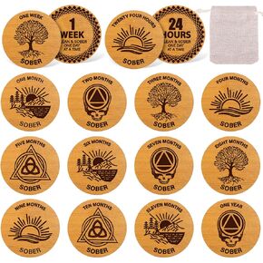 28 Pcs Wooden Sobriety Coin Set Recovery Sobriety One Year Medallion Anniversary Chip with Linen Pockets for Alcoholics Addiction Recovery Reward
KWD 5.500
28 Pcs Wooden Sobriety Coin Set Recovery Sobriety One Year Medallion Anniversary Chip with Linen Pockets for Alcoholics Addiction Recovery Reward
KWD 5.500